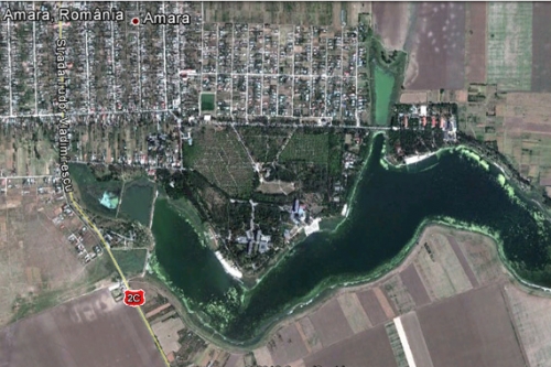
Geographic data
Amara is situated in the central part of Ialomița county, between Grivița, in the north, Gheorghe Doja and Perieti, in the west, Slobozia, in the south and east, being crossed by Slobozia-Buzau national Road DN2C. It is 7km distance away from Slobozia, county residence and 130 km distance away from Bucharest, capital of the country.
Amara is situated in an propitious area for communications, being crossed by European Road E 60-Constanta-Bucuresti-Ploiesti-Brasov-Oradea, part of Pan-European transportation network and has direct contact with the Sun highway A2-Bucuresti-Constanta, through Slobozia-Drajna road.
Its total surface is 7034ha. The natural setting belongs to “Baraganul însurățeilor”. The altitude varies from 23m to 44m.
Geologic structure: there are quaternary deposits, loess, a type of rock made mostly of clay dust brought by the wind.
Climate
There is continental climate in the Baragan Plain area, with hot summers, sometimes hotter and cold winters, the annual temperature average is 10.5 Celsius Degrees-11 Celsius Degrees. The annual rainfalls average is 450-500 mm/year..


